The Painkalac Project - Otways Victoria
The Painkalac Project is a community-led effort to restore floodplain habitat in an iconic valley between Aireys Inlet and Fairhaven, near the start of Victoria’s Great Ocean Road. Built on decades of local advocacy, persistence and practical action, the project continues a long community campaign to protect and restore this important floodplain landscape.
A Community-led Initiative to Connect Forest, Creek and Coast
In October 2025, BioDiversity Legacy acquired the lease on a 29-hectare parcel of private land in the Victorian Otways, protecting a vital piece of habitat in the Painkalac Valley and fulfilling a decades-long dream for local groups, Aireys Inlet and District Association (AIDA) and Anglesea and Aireys Inlet Society for the Protection of Flora and Fauna (Angair).
A Valley of Rich History and Change
Located around 90 minutes south-west of Melbourne – near the start of the Great Ocean Road on the traditional lands of the Wadawurrung and Gadubanud Peoples – the Painkalac Valley forms a natural corridor between the Great Otway National Park and the coast. The area’s rolling dunes, winding estuary, open floodplains and forested hills create a strikingly wild, non-urban landscape between the holiday towns Aireys Inlet and Fairhaven – loved by locals and holidaymakers alike.
The area’s stunning beauty and rich soils attracted the early settlers. The valley floor faced repeated environmental shocks from the 1840s onward, including clearing for grazing and the Ash Wednesday fires, which burnt out the valley floor and destroyed vast areas of forest. Following the fires, there were further attempts to develop the valley.
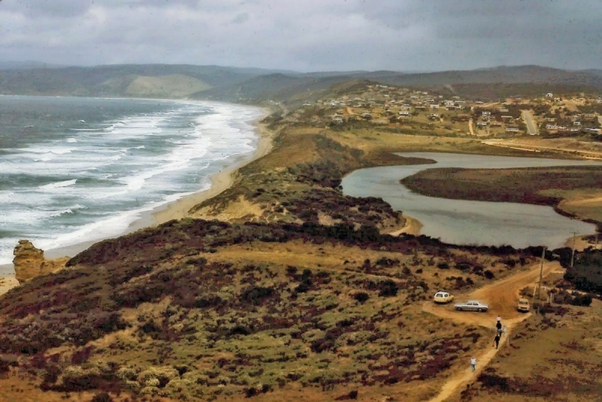
The Painkalac Valley Estuary is a significant estuarine wetland featuring a dynamic salt-wedge ecosystem where freshwater meets the sea. State Library of Victoria.
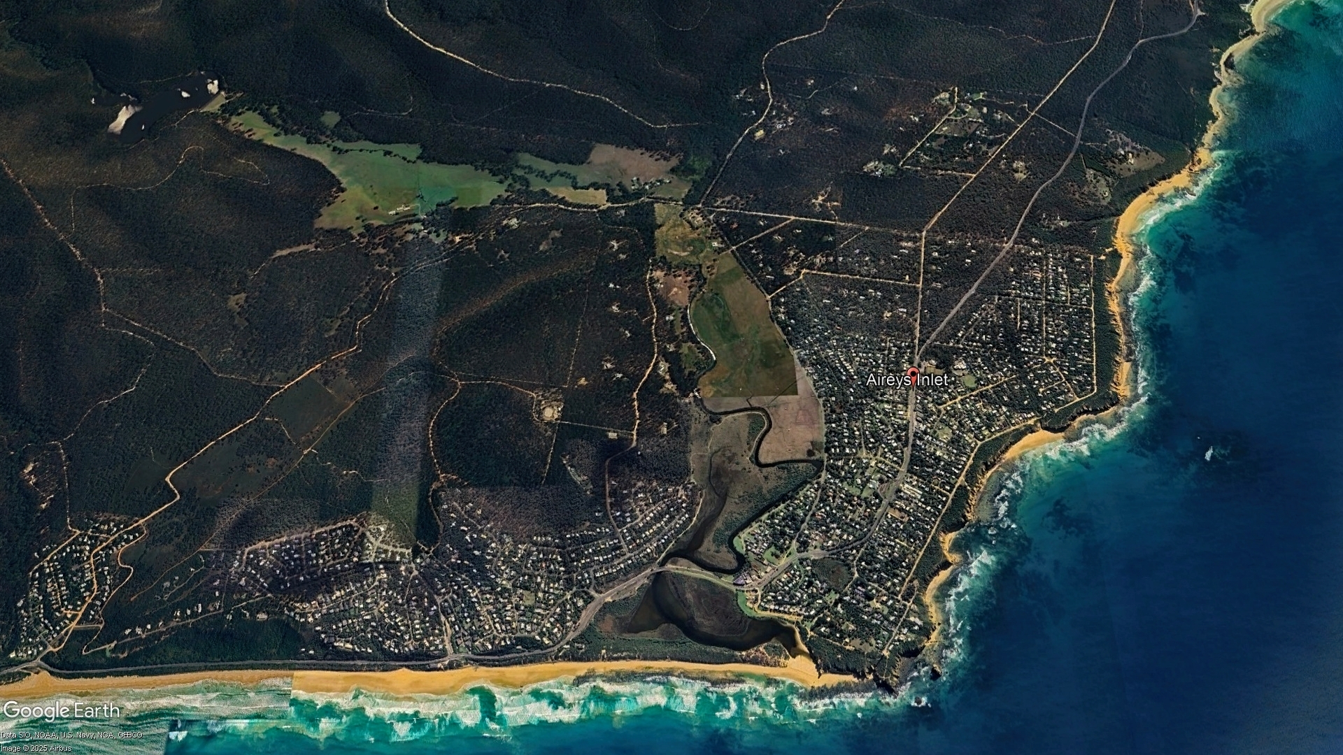
View of the Painkalac Valley between Aireys Inlet and Fairhaven.
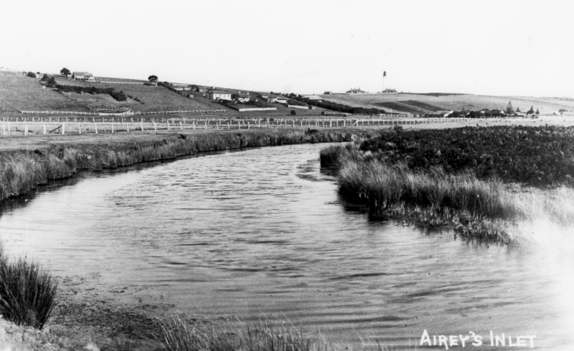
From the State Library of Victoria, a photo showing a healthy Painkalac Creek circa 1890.
A Community That Refused to Give Up
Community groups Angair and AIDA, both active since the 1960s, played a big part in the establishment of the Painkalac Creek Nature Reserve and other conservation projects in the Painkalac Valley and surrounds.
In 2016, individual members decided to form the Painkalac Project with a view to purchasing and protecting the valley and restoring it to a working floodplain. That attempt was unsuccessful.
One of these lots (4.3 hectares in size) was purchased by landowners Mick Loughnan and Jacinta Halloran, who revegetated the property with help from the community, and placed it under a Trust for Nature covenant. These efforts delivered inspiring results, with rare and iconic species of flora and fauna returning to the property within a matter of years.
Building on Mick and Jacinta’s success, community attention turned to the adjoining 29-hectare parcel of land — another of the subdivided lots. A breakthrough came in 2025, when a group of Angair/AIDA members were introduced to BioDiversity Legacy.
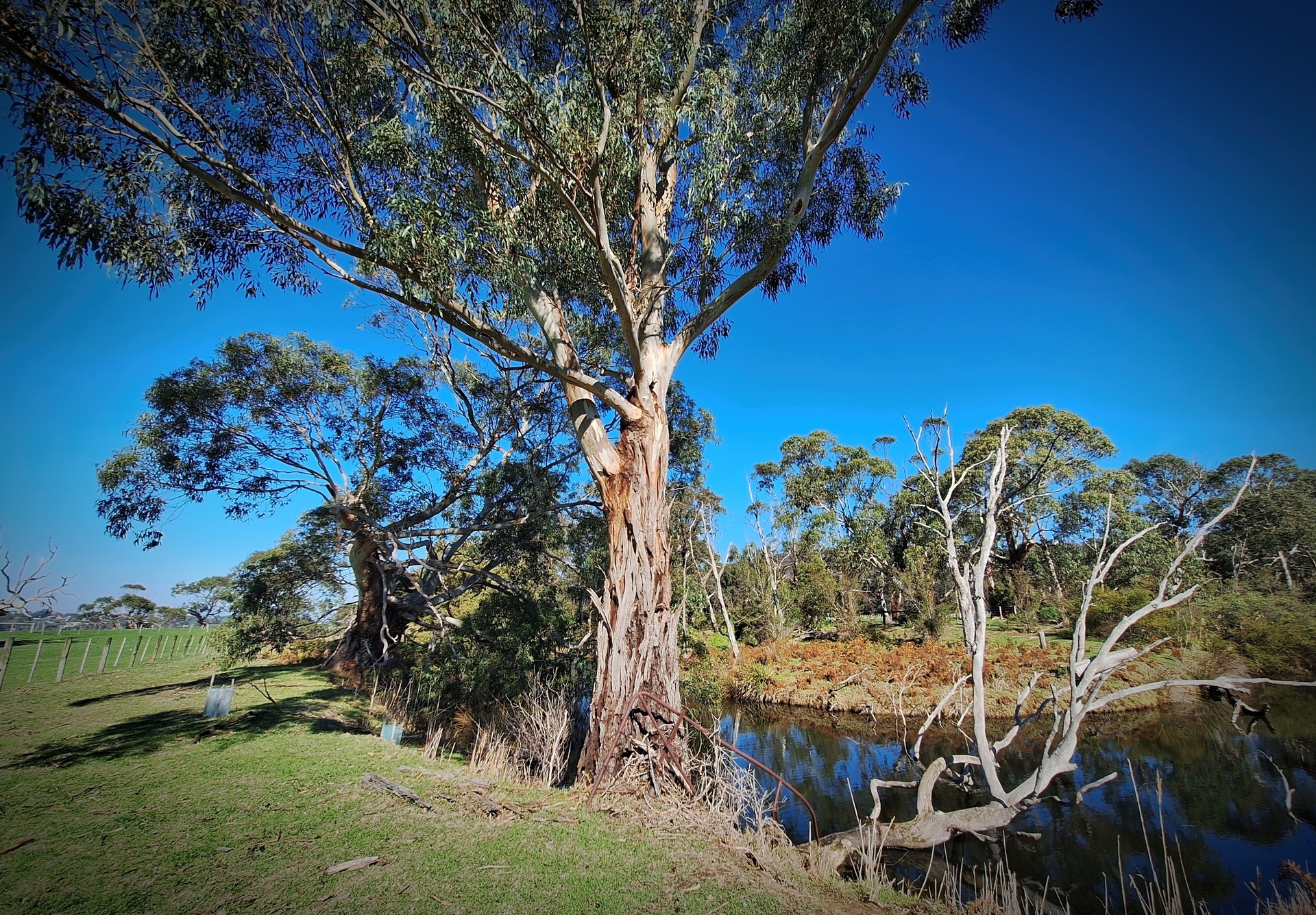
Communities activites have revived the Painkalac Creek from a degraded landscape to a healthy wetland.
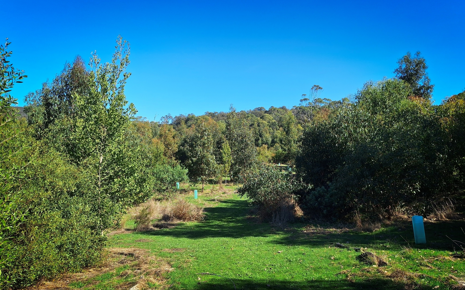
Regeneration activities on Mick Loughnan and Jacinta Halloran’s property in the Painkalac Valley have been remarkably successful.
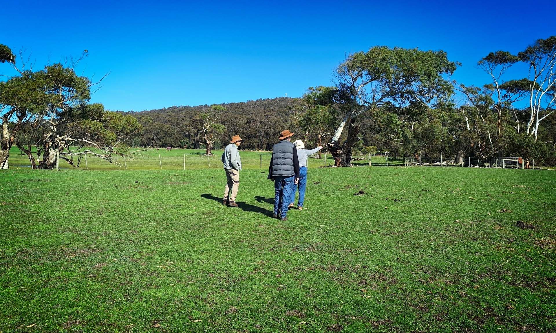
Members of the local community survey conservation activities on Mick Loughnan and Jacinta Halloran’s property in the Painkalac Valley.
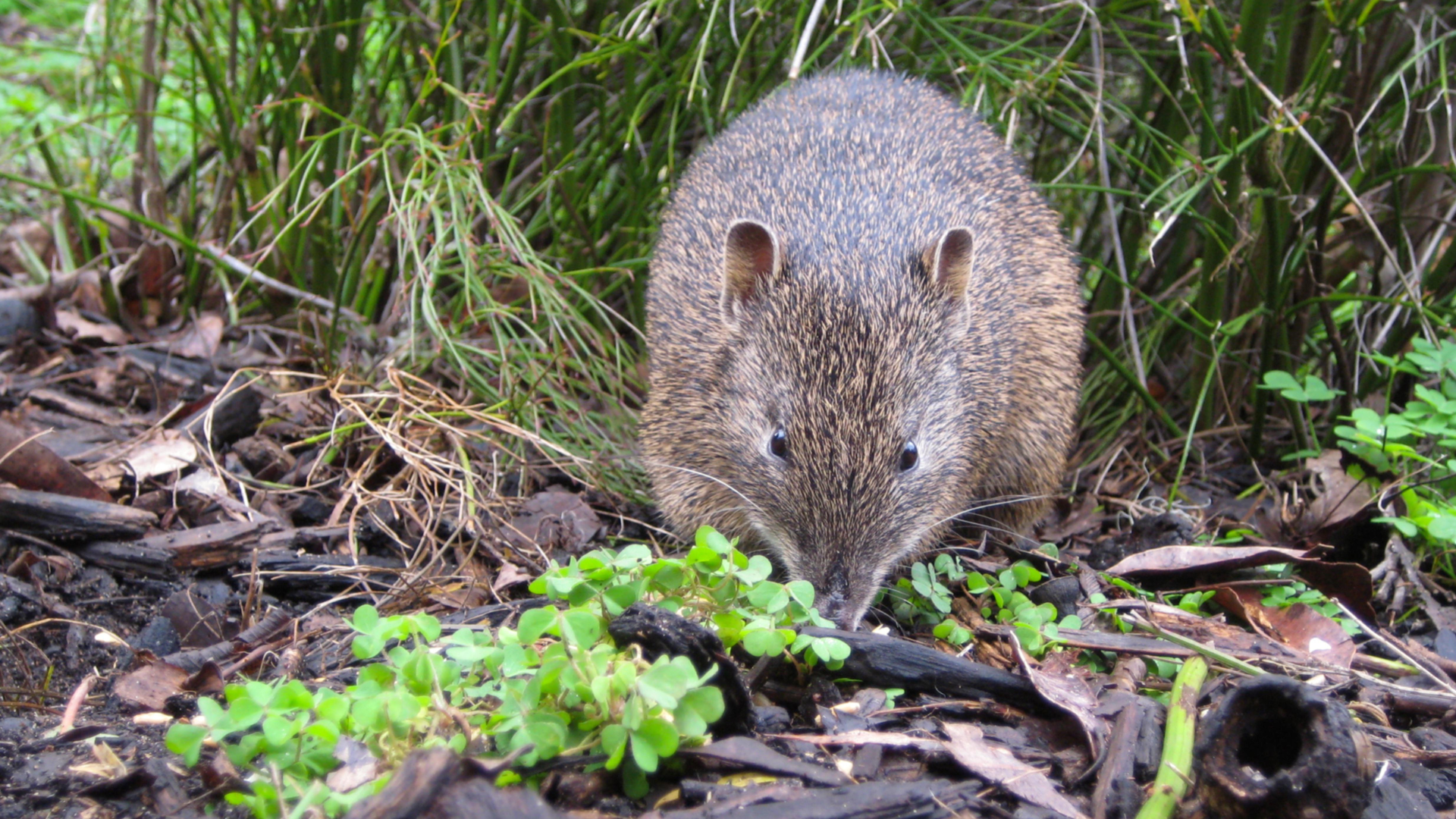
Southern Brown Bandicoot.
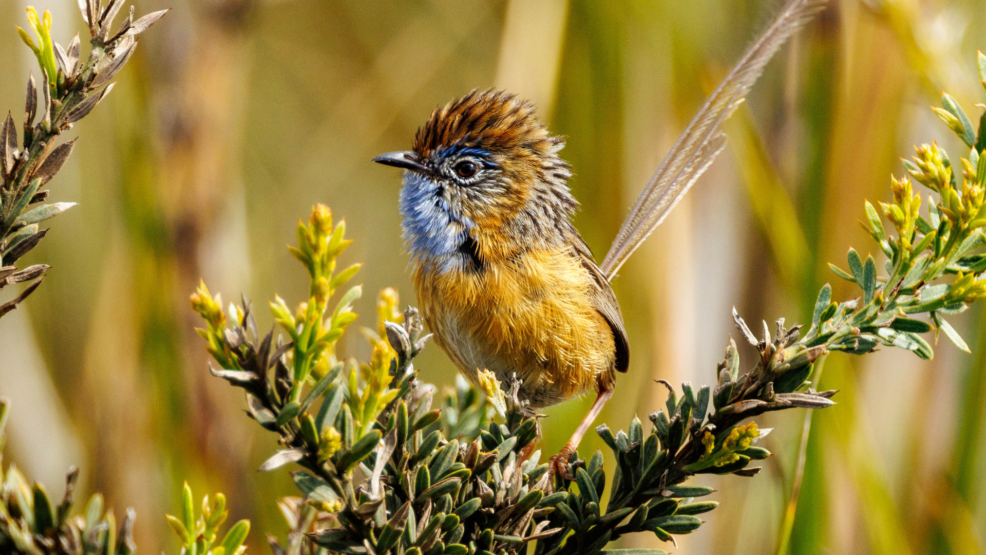
Southern Emu Wren.
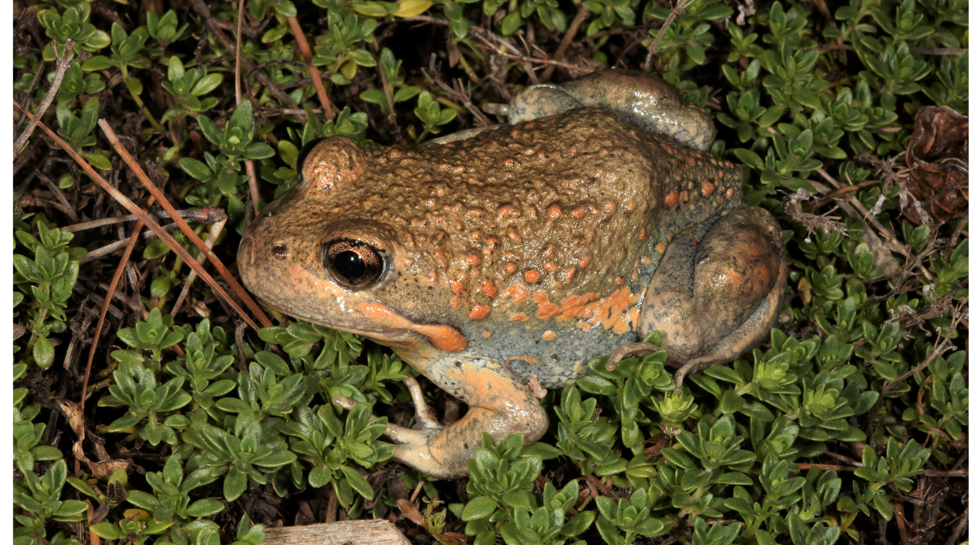
Eastern Banjo Frog or Pobblebonk Frog.
Securing the Missing Link
With community backing and a generous donation from two Angair/AIDA members, BioDiversity Legacy was able to secure the lease for the 29-hectare area – a move that the landowners, Adam O’Halloran and Jo Stevens, support.
The protection of this property adds a significant contribution to overall conservation and habitat connectivity in the valley. By restoring this block, the project will support a continuous habitat corridor stretching from the Otway forests to the Eagle Rock Marine Sanctuary, allowing species to move more freely across the landscape.
A local stewardship group, supported by BioDiversity Legacy, will oversee the long-term management of the land. This will be guided by a science-based masterplan developed with input from the local community and organisations such as the CFA, Forest Fire Management, DEECA, Barwon Water, the Great Ocean Road Coast and Parks Authority, the Corangamite Catchment Management Authority, the Surf Coast Shire, AIDA and Angair.
The group also looks forward to working with the Wadawurrung Aboriginal Corporation as the plan is developed and implemented.
Ecological Significance
The Painkalac Valley is the largest and most significant estuarine wetland along the Great Ocean Road. The unique salt wedge estuary environment includes a diverse range of locally threatened EVCs, including rush, sedge and grasslands. It forms a rare and dynamic ecosystem that supports an exceptional diversity of life. Threatened mammals and other notable fauna include:
- Swamp Antechinus
- Broad-toothed Rat
- Southern Brown Bandicoot
- Swamp Wallabies
- Echidnas
- Rakali
- Agile Antechinus
- Swamp Rats
- Bush Rats
- Short-finned Eels
- Variety of frogs, reptiles, insects and fish.
- Bird life
More than 45 bird species, including Latham’s Snipe, Gang-gang Cockatoos, Blue-winged Parrots, Golden-headed Cisticolas, Southern Emu-wrens and Stubble Quail, have been observed in the area.
A Living Legacy and Model for Community Conservation
Adopting its name in acknowledgement of the original movement to protect the Painkalac Valley wetlands, the ‘Painkalac Project’ reflects a strong model of community-driven conservation that is backed by science and collaboration across local and regional agencies.
The project is more than a conservation win – it’s a living example of what a determined community can achieve.
Together, BioDiversity Legacy and local stakeholders are returning the valley to a thriving estuarine landscape – protecting wildlife, restoring water flows and ensuring that future generations can also experience the wild beauty of this remarkable place.