

Robyn Gower
Posts by Robyn

Community marks World Saltmarsh Day on protected Bullock Island
Jun 11
To mark World Saltmarsh Day on 11 June, around 35 community members, environmental partners, scientists, donors, volunteers, local media, photographers and nature lovers visited Bullock Island — one of two Corner Inlet islands now protected forever by Nooramunga Land & Sea.
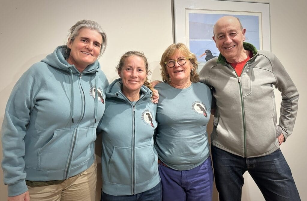
How Connecting Wildlife is Helping the South Coast Protect Land for Good
May 27
In May 2026, communities on the South Coast of NSW came together to learn about – and celebrate – the launch of Connecting Wildlife, a Local Landholding Entity governed by a regional board committed to protecting habitat across the South Coast.
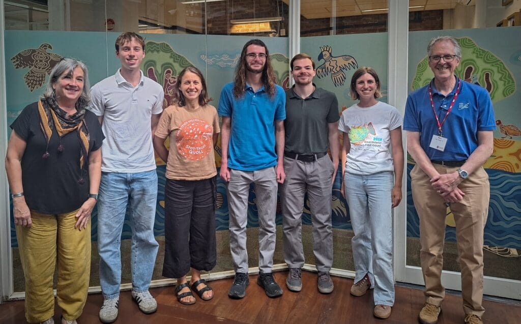
When Computer Science Meets Conservation
As BioDiversity Legacy expands its work across Australia, building organisational infrastructure is becoming increasingly important. So, when an opportunity arose to collaborate with Worcester Polytechnic Institute students on a Customer Relationship Management (CRM) system, we jumped at it.