Turning the Tide for Our Coastal Saltmarsh

In our element, experiencing the joy and adventure of a wild ecosystem

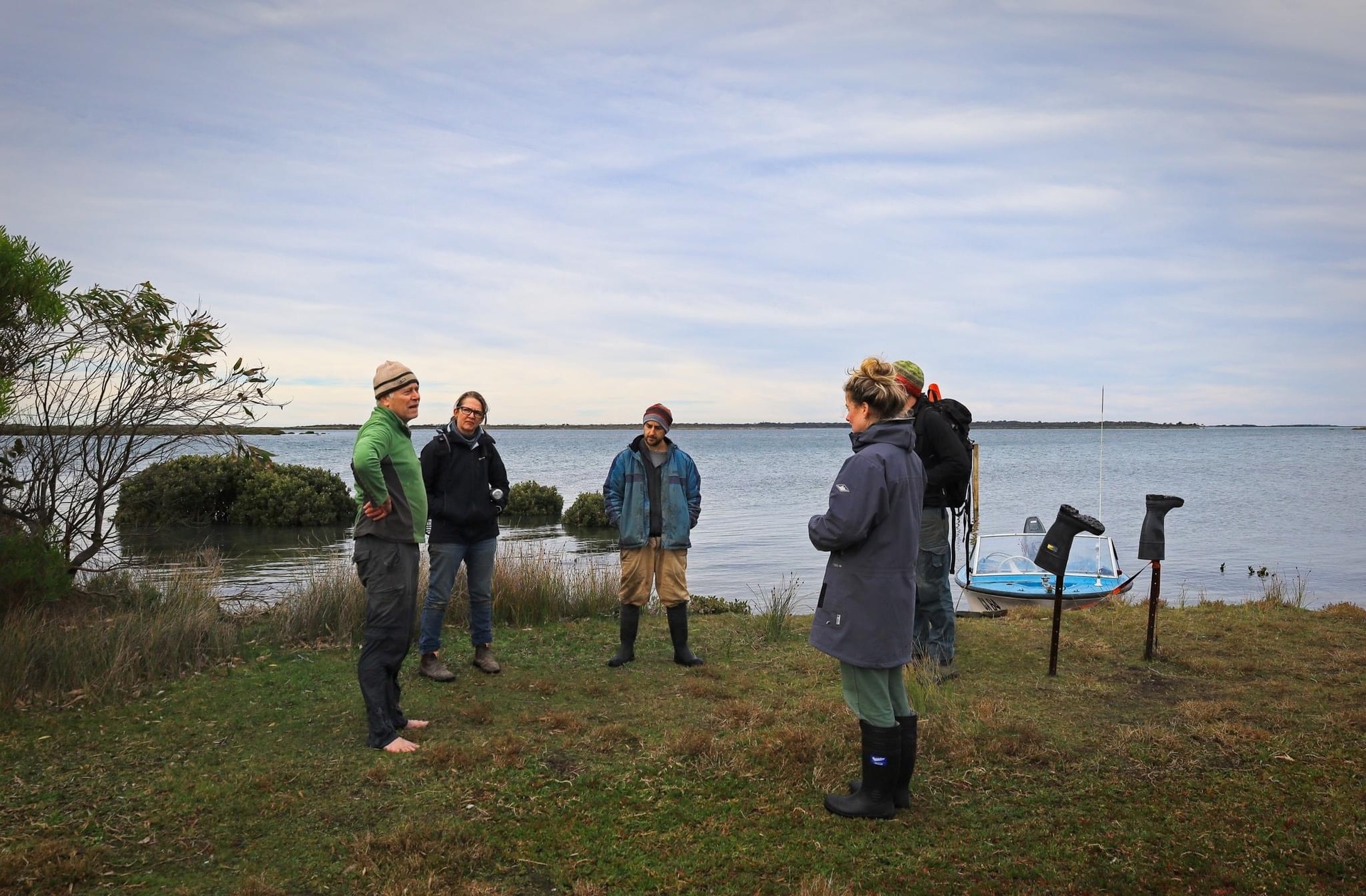
Visiting Bullock Island on a gusty high tide is not for the faint-hearted. But for a small group of committed volunteers, the challenge is more than worth it. A bit of cold, wet and mud is a small price to pay for an up-close encounter with one of Victoria’s most remarkable saltmarsh environments.

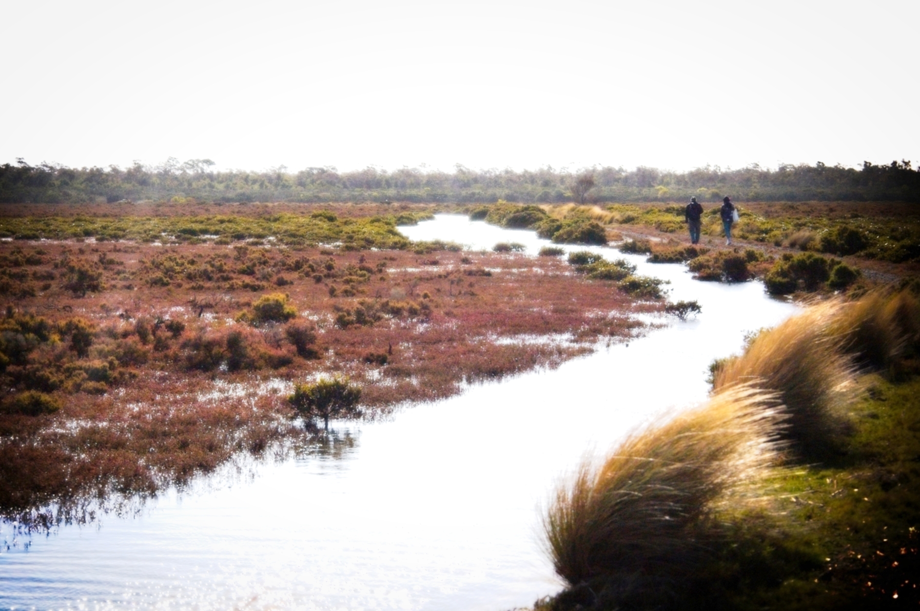
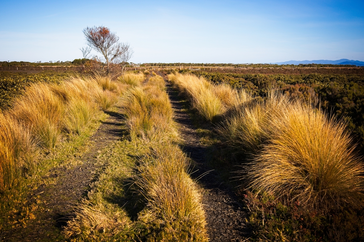
Getting there is part of the adventure. Bullock Island sits within the iconic Corner Inlet in South Gippsland, a site of international importance under the Ramsar Convention. Reaching it requires a capable 4WD and a 30-minute drive along sandy, rutted tracks flanked by Manna Gums, Stringybarks, Grass trees and century-old Banksias. Wet weather gear, food, water and a good camera are essential - especially if you’re lucky enough to spot one of the inlet’s rare birds along the way.

Jewels in the landscape

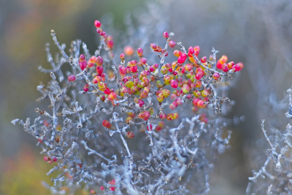
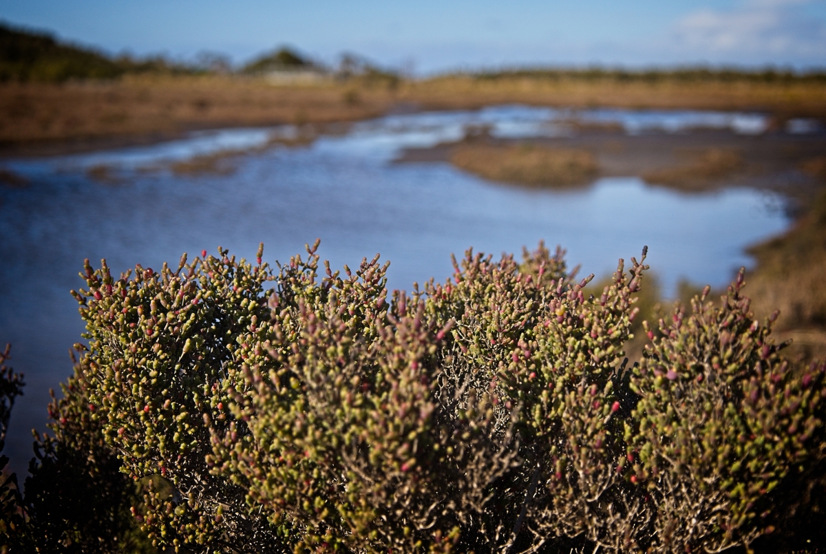
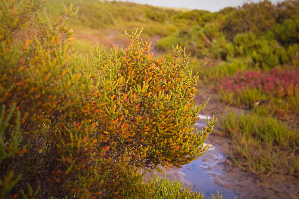
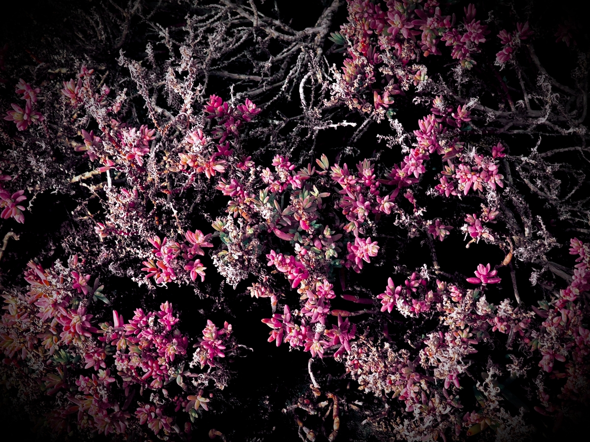
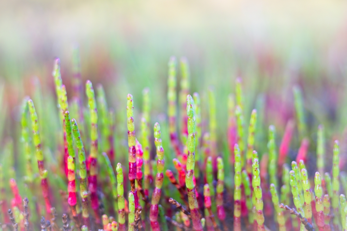
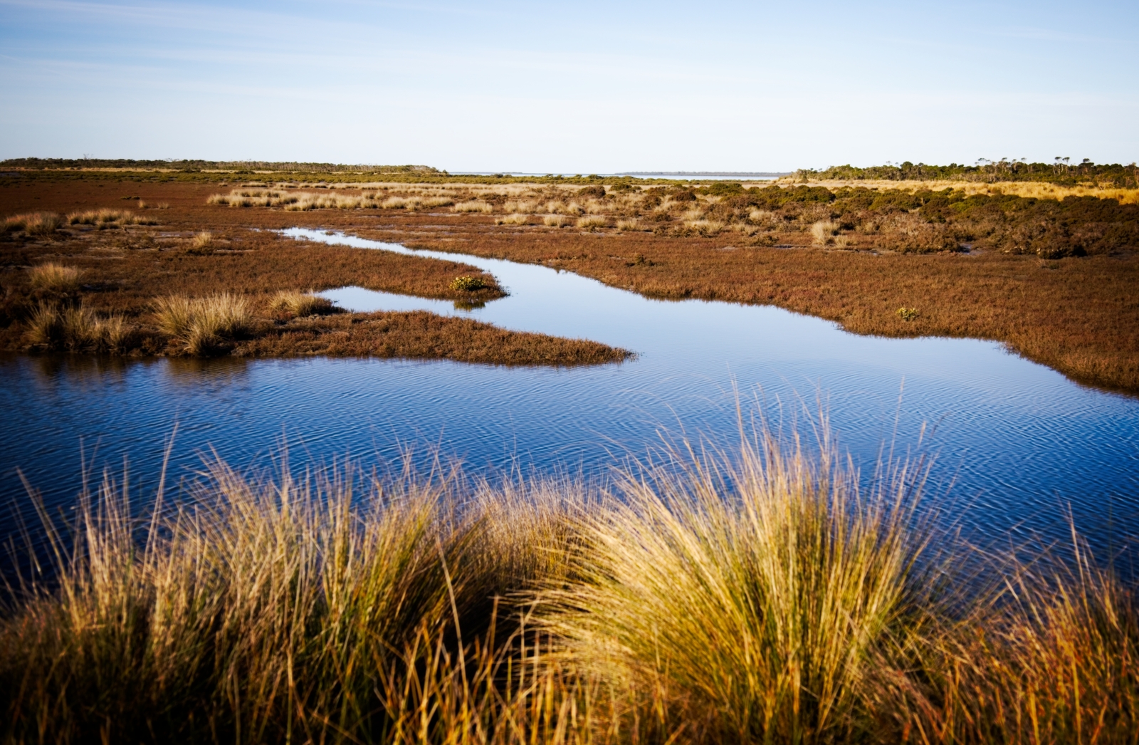
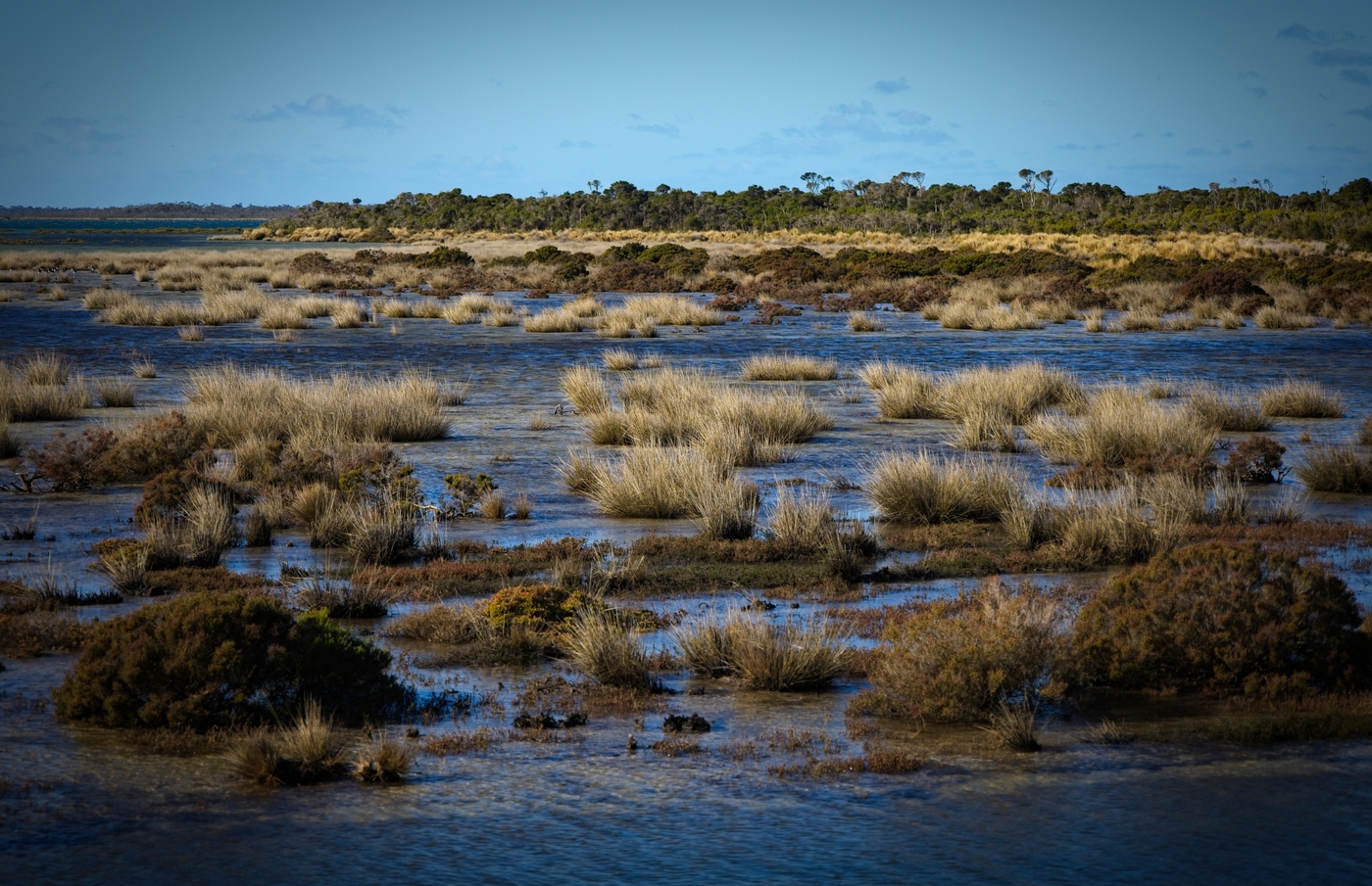
Once on the island, you’re rewarded with a sweeping ecological tapestry. Beaded and Shrubby Glassworts, Pigface, Austral Seablite, Swamp Paperbark, Austral Brooklime, native grasses and White Mangrove forests paint the landscape in shifting tones of green, red, silver and gold.
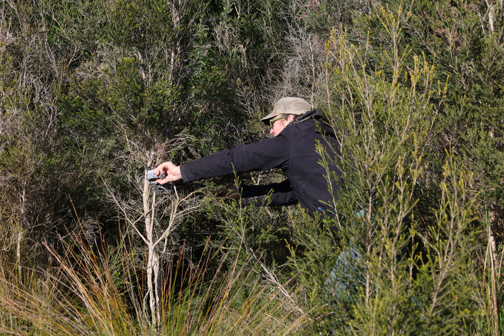
On this particular visit, the volunteers have a mission - to retrieve remote-sensing cameras placed around a freshwater hole on the 72-hectare island to monitor fauna. As they cross the long causeway, a mob of kangaroos bounds across the tidal flats - a fitting welcome to this wild and beautiful place framed by the dramatic hills of Wilsons Promontory to the south.

Protecting Nooramunga Land & Sea

Bullock Island is the second island to be secured by Nooramunga Land & Sea (NL&S), a not-for-profit Local Landholding Entity supported by BioDiversity Legacy and dedicated to protecting and restoring these fragile coastal landscapes for future generations.

Along with neighbouring 60-hectare Little Dog Island, Bullock Island bears the scars of past farming and recreational use. Now, however, these islands are being carefully managed to heal. Rising sea levels due to climate change pose a challenge - but also an unexpected opportunity. Storm surges bring salty water that can kill off invasive weeds such as pasture grasses, helping native saltmarsh species reclaim their ground.

The islands are also blue carbon powerhouses. Their muddy soils lock away vast amounts of carbon, making them critical allies in the fight against climate change while nurturing biodiversity.
Watching Over a Global Bird Haven

Remote cameras are one of the tools that the NL&S stewardship team uses to watch over Bullock and Little Dog Islands. Carefully placed in the landscape, they support the detection of native fauna and help to identify potential threats - such as feral deer and foxes - to these internationally significant places.

Bullock Island is a vital stopover for migratory shorebirds and local beach-nesting birds alike. Visitors include the Critically Endangered Far Eastern Curlew, Curlew Sandpiper, Great Knot, Endangered Lesser Sand Plover, Red Knot and the Vulnerable Hooded Plover.

The island may even provide habitat for Australia’s most threatened bird, the Orange-bellied Parrot, which travels from Tasmania each year to feed on Victoria’s saltmarshes. With historic sightings in South Gippsland, the NL&S team remains hopeful of a future encounter.

A Wild Place Worth Protecting

Despite the long day, wet clothes and muddy boots, the volunteers leave Bullock Island with hearts full. They speak of the thrill of standing in a landscape where tidal creeks carve graphic patterns through the saltmarsh, where the texture of grasses and rushes shifts with the light and where each visit reveals something new.

They also carry with them a renewed commitment to the NL&S stewardship plan - a long-term vision to protect these living carbon sinks, strengthen habitat for endangered species and give the next generation the chance to witness the magic of this wild place.
Two islands, one vision – safeguarding Corner Inlet’s saltmarsh communities

BioDiversity Legacy’s bold vision for protecting vulnerable ecosystems at scale is being realised in South Gippsland, where Nooramunga Land & Sea (NL&S) has acquired its second saltmarsh island in Corner Inlet.

Bullock Island joins neighbouring Little Dog Island as part of a growing legacy of land protected within the iconic Corner Inlet – a Ramsar-listed wetland of international significance.

Both islands were previously zoned for farming and recreational use, placing over 132-ha (330-acres) of valuable coastal saltmarsh at risk. In fact, the 60-hectare Little Dog Island was previously developed as a golf resort, which caused significant damage.

With funding from the Upotipotpon Foundation and support from Biodiversity Legacy, the NL&S team secured the island, with the stewardship team about to conduct surveys and monitoring to see what's on the island and undertake habitat restoration and enhancement works to protect vulnerable species and help them thrive.

Land protection and stewardship team

The NL&S team consists of leading ecologists, environmental philanthropists, carbon landscape experts and researchers with deep roots in ecological restoration and land protection. They include:

  • Karl Just
  • Tim D’Ombrain
  • Dr Steve Enticott (Carbon Landscapes)
  • Kristin Monie (Ecological Researcher)
  • Jim Phillipson, Strategic Director, Rendere Environmental Trust.

Rendere also provided support for the initiative, with volunteers, local landholders, Traditional Owners, citizen scientists and community partners also invited to collaborate on efforts to protect these landscapes, which are vital for biodiversity, carbon storage and climate resilience.

A Living Mosaic

Framed by Wilson’s Promontory to the south and South Gippsland’s green hills to the north, the 72-ha Bullock Island presents a rich tapestry of native grasses, salt-tolerant shrubs, Swamp Paperbark and colourful succulents, such as Beaded and Shrubby Glassworts, Pigface, Austral Seablite and Austral Brooklime.

Like many of the sandy islands in Corner Inlet, Bullock Island’s intertidal mudflats and waters support large areas of White Mangrove and Broad-leafed Seagrass; communities of limited distribution in Victoria.

Sanctuary for rare and migratory birds

Corner Inlet is a haven for birdlife, supporting an estimated 20% of Victoria’s entire wader population. Now linked by intertidal flats, Bullock and Little Dog islands offer crucial safe habitat for several threatened species, including:

  • Critically Endangered: Far Eastern Curlew, Great Knot, Curlew Sandpiper
  • Endangered: Lesser Sand Plover, Red Knot
  • Vulnerable: Hooded Plover, Australian Grayling, Swift Parrot

There is also quiet optimism that the islands may one day support the return of the Orange-bellied Parrot – one of Australia’s rarest birds. NL&S is working closely with BirdLife Australia and Zoos Victoria to monitor for the species’ presence and support its potential recovery.

Why these islands matter to us all

The value of these saltmarsh islands extends far beyond biodiversity. As part of the blue carbon ecosystem, their dense vegetation and deep, silty soils lock away carbon 30 to 50 times faster than terrestrial forests – keeping it stored for thousands of years.

They also provide:

  • storm surge protection for coastal towns
  • clean water by filtering nutrients and sediment
  • fish nurseries vital for local marine species and fisheries.

Protecting them means strengthening climate resilience, food systems and local economies.

A blueprint for community-led conservation

This project demonstrates what’s possible when innovative governance structures meet passion, purpose and place-based conservation.

The NL&S team anticipates further acquisitions to protect and restore connectivity between South Gippsland’s saltmarsh ecosystems as more landholders and philanthropists come on board.

Connecting with communities on Far South Coast of NSW

BioDiversity Legacy (BDL) continues to build networks and engage with conservation communities on the Far South Coast of NSW from Eden to Tathra, Bermagui to Moruya, and beyond.

It may be one of the most beautiful regions in Australia, but the Far South Coast faces numerous threats to its biodiversity - from habitat loss to logging, agricultural activities, invasive species and bushfires.

In June, BDL's Head of Conservation Engagement & Partnerships, Dixie Fitzclarence, and Community & Stewardship Manager, Robyn Edwards, headed to the small town of Towamba, near Bega, to meet the community and participate in a workshop aimed at helping them identify critically endangered Threatened Ecological Communities (TEC) within the River Flat Eucalypt Forest.

The event, coordinated by the Towamba Valley Landcare Group in association with the Far South Coast Conservation Management Network, involved presentations by Jackie Miles, a highly knowledgeable local botanist who explained the main diagnostic features of the TEC, South East Local Land Services Officer, and Annie Hobby, who provided an update on the status, range and distribution of this TEC and what communities can do to restore these ecosystems.

Dixie talked about BDL’s role supporting landholders, community groups, environmental organisations and others to protect the land they love for future generations. Robyn’s talk focused on BDL-supported work with Wildlife Unlimited to protect threatened species, including the Spot-tailed Quoll and Brush-tailed Rock Wallaby, as well as plans to extend this work to protect native species across a broad region, from Victoria to the South Coast.

"It was an inspiring day, connecting with landholders who are undertaking protection and restoration activities on their property or in the local landscape, and to share with the community the role BDL has to play in permanent protection through facilitating community ownership of significant biodiverse areas," said Robyn.

The event was supported by the Australian Government Natural Heritage Trust and the Saving Native Species Program delivered by South East Local Land Services, a member of the Commonwealth Regional Delivery Partners panel.

Strengthening wildlife corridors in South Gippsland

Community-led landscape connection

Landholders and nature lovers across South Gippsland are helping shape a regional biolink map designed to strengthen wildlife corridors and protect native and threatened species.

Being developed by the South Gippsland Landcare Network (SGLN), the map will provide a bird’s-eye view of the habitat patches, stepping stones and links that need to be protected, restored or reconnected across the landscape.

The project is a key action from SGLN’s 10-year Biodiversity Protection Plan, developed in 2024 with input from across the conservation sector, including our friends and colleagues at Prom Coast Ecolink.

The need for coordinated action is increasingly urgent. Stretching across 262,000 hectares, from the steep Strzelecki Ranges to the lowland coast, South Gippsland retains just 22% of its native vegetation, while 10% of its native species are now threatened.

After securing funding for two key phases of the project, SGLN appointed mapping specialists to gather baseline data. Through the Habitat Near You website, landholders and community members were invited to identify habitat hotspots, sightings of key species and other areas of ecological importance.

This initial phase ran from May to June 2025, with further community consultation continuing in 2026.

BioDiversity Legacy’s South Gippsland Biolink Coordinator and local community member, Stuart Inchley, contributed to the project. He welcomes SGLN’s commitment to involving landholders and communities in decisions about protecting land and reconnecting landscapes through a community-led, tenure-blind approach.

Once completed, the map will provide a strong evidence base for regional planning, help guide future conservation priorities and support greater investment in the natural values of the South Gippsland landscape.

Secret Link